Land Sensing Geospatial Analytics
Data and Portal
Explore our maps online, and download open geospatial data for your own analysis.
Interactive Web GIS & Earth Engine Portal
Explore our maps in the LSGA portal
Our interactive geospatial portal runs directly in your web browser with zero software to install and no account needed. Switch between multi-season LSGA map layers, high-resolution satellite imagery, and ESA 10 m global land cover, or draw any area on the map to calculate its surface statistics.
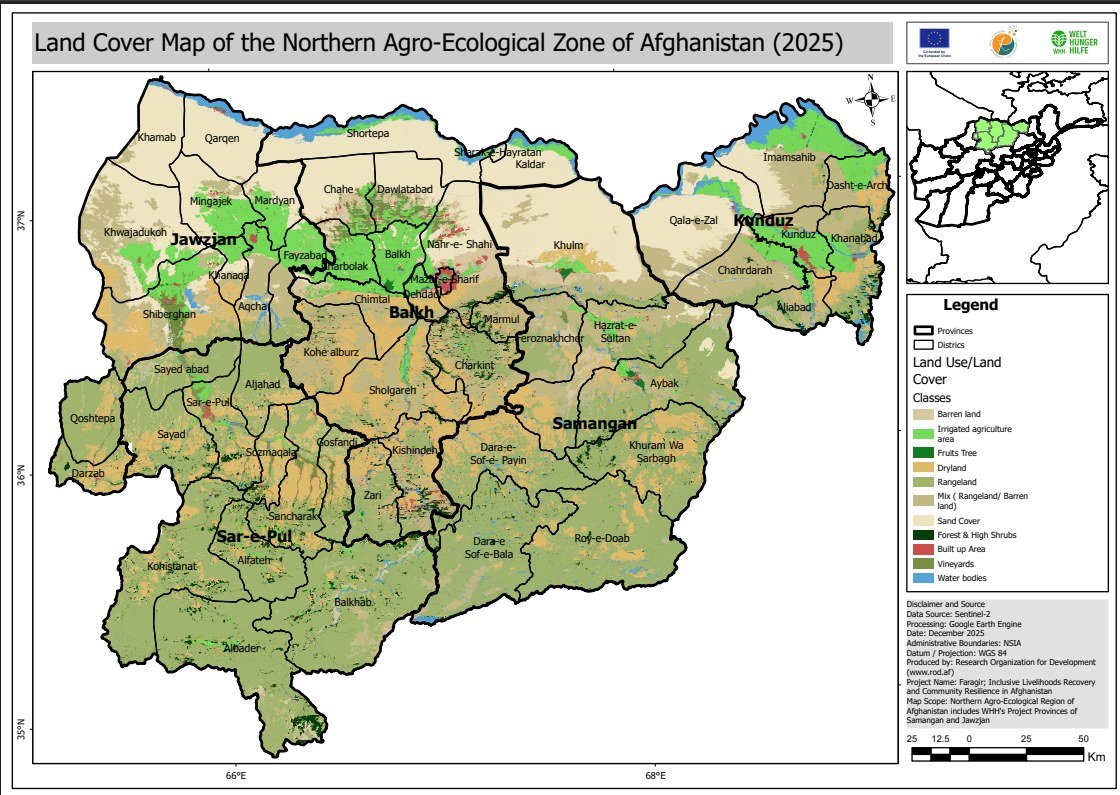
What you can see: Published LSGA map layers on top of high-resolution satellite imagery, with a choice of years and seasons (2025 LULC, 2023 Spring & Summer Crops, 2001–2020 Drought).
What you can do: Zoom to your province or watershed, switch layers and satellite basemaps, adjust layer opacity, and draw an area on the map to calculate its surface statistics in hectares and km².
Quick Zoom:
Open geospatial data
Open datasets
These datasets come from our projects. Each one comes with its accuracy information, downloadable GIS-ready files (GeoJSON, CSV & ZIP), interactive portal view, and suggested citation.
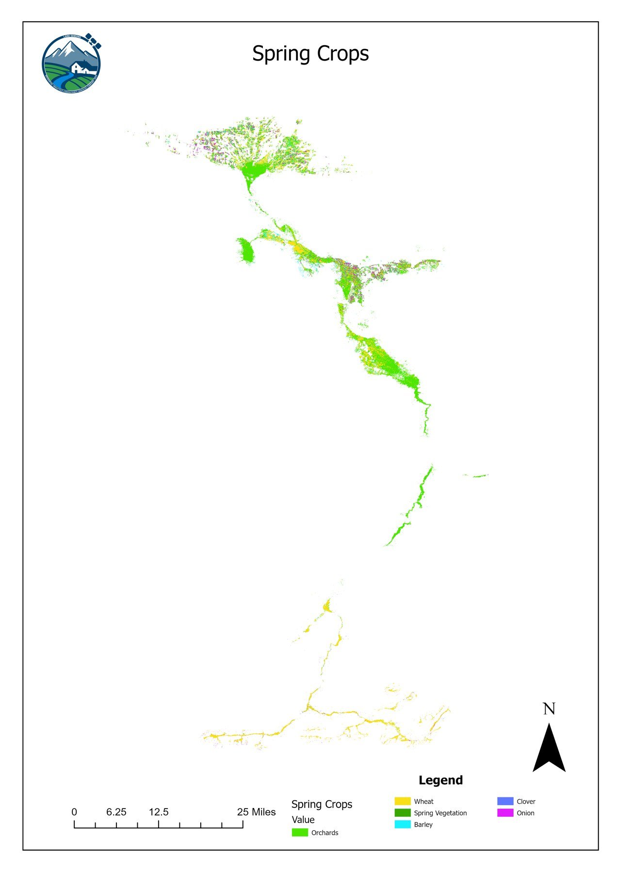
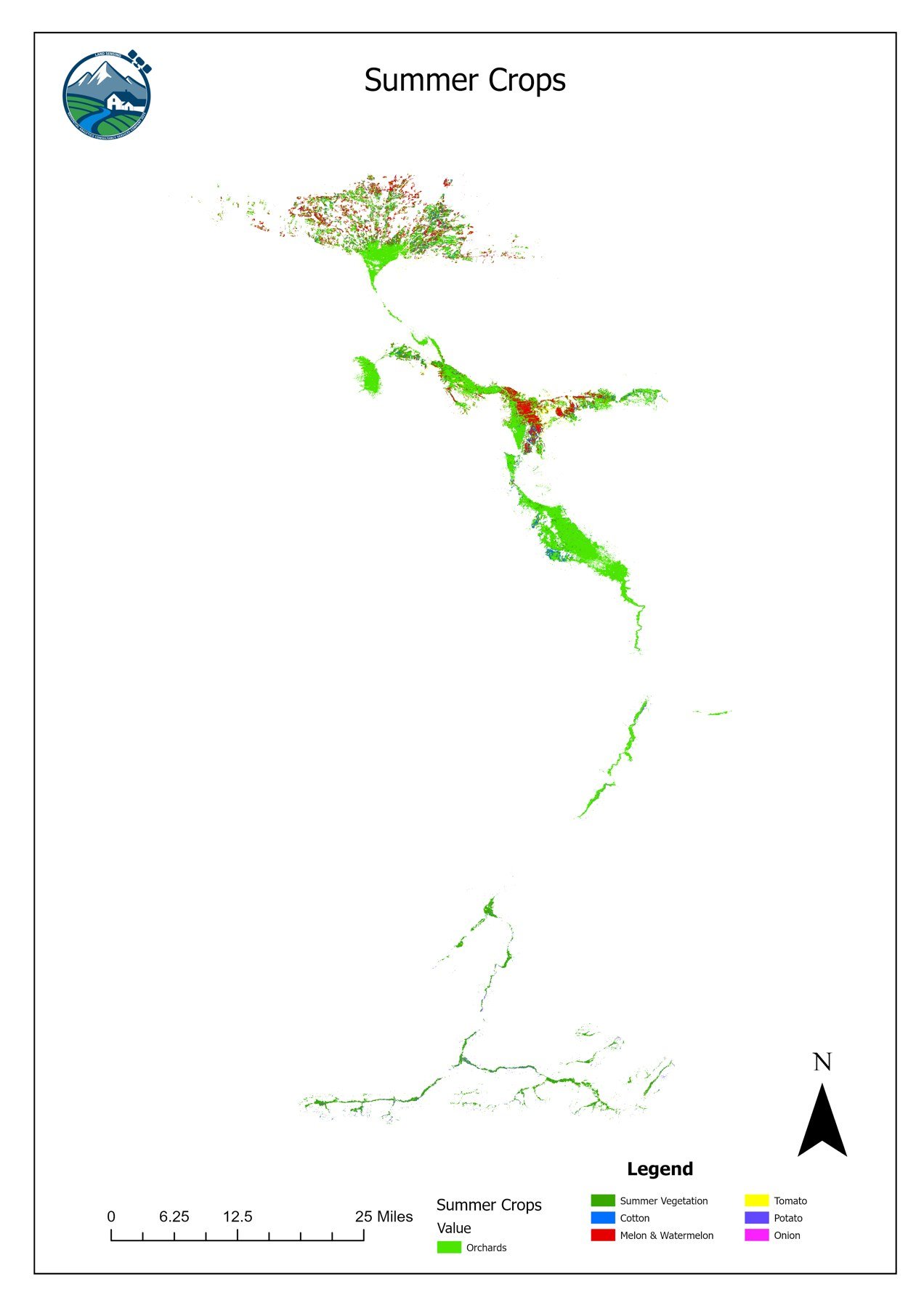
Seasonal crop maps 2023, Khulm Watershed
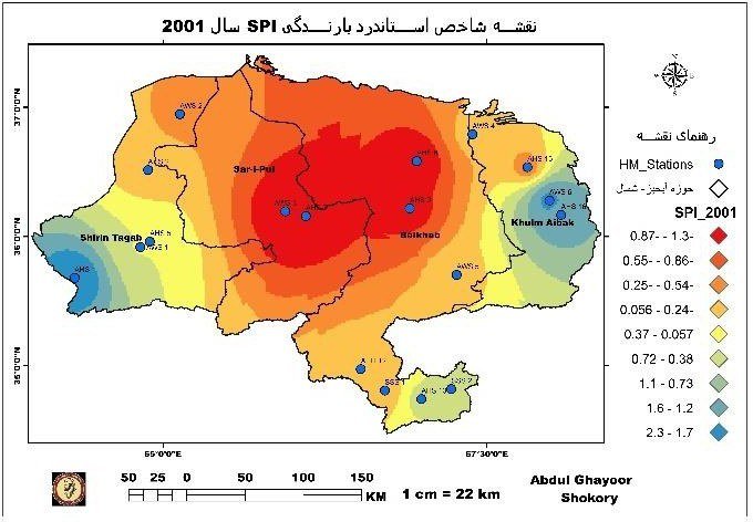
Drought indicators 2001–2020, Northern River Basin
Complementary Open Data
Free public satellite & administrative datasets for Afghanistan
In addition to LSGA’s field-verified datasets above, researchers and programmes can access these free global and national geospatial repositories:
| Dataset / Platform | Provider | Content & Resolution | Access |
|---|---|---|---|
| Afghanistan Subnational Administrative Boundaries (COD-AB) | UN OCHA / HDX | Official Level 0–2 province and district boundaries (Shapefile, GeoJSON, Geodatabase) | Open on HDX ↗ |
| ESA WorldCover 10 m Global Land Cover | European Space Agency (ESA) | 10 m baseline land cover from Sentinel-1 & Sentinel-2 (GeoTIFF, WMS & Earth Engine) | Open ESA Portal ↗ |
| Afghanistan Land Use & Agricultural Inputs | FAO / HDX | National time-series agricultural land use and food security indicators (CSV / Excel) | Open FAO Dataset ↗ |
| Copernicus Sentinel-1 & Sentinel-2 Archive | Google Earth Engine Catalog | Multi-temporal optical (10 m) and SAR radar imagery used in LSGA workflows | Earth Engine Catalog ↗ |
| Zenodo Open Science GIS Repository | CERN / OpenAIRE | Permanent DOI hosting (up to 50 GB per dataset free) for open scientific raster archives | Zenodo GIS ↗ |
Data policy & licence
How to use and cite our data
Licence
Our open data are shared under the Creative Commons Attribution 4.0 (CC BY 4.0) licence. You may use, share and adapt them, including for commercial work, as long as you credit LSGA.
Citation
Land Sensing Geospatial Analytics (LSGA) ([year]). [Dataset name]. [Version]. [DOI or link].Accuracy and limits
Every dataset comes with its accuracy assessment. The maps show land cover and conditions at the stated resolution. They are not survey-grade maps and do not show legal or administrative boundaries.
Custom Geospatial Data
Need data for another area or a custom product?
We can produce maps and datasets for your area, season or question, with field verification, full-resolution GeoTIFF rasters, and custom accuracy reporting.
- Custom district or watershed crop & land cover rasters (10 m or 30 cm commercial)
- Pre- and post-intervention project verification datasets
- Seasonal drought, flood and snowmelt monitoring layers